By Claire Hinther
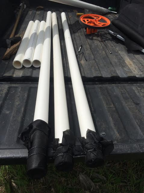
Figure 1: Wells before placement at the site.
Over the past two weeks, Mark Dittrich, Senior Planner with the Department of Agriculture, Dave Legvold, conservation farmer, and I dug the first six wells on the buffer strip. The wells are set in transects dividing the distribution line into four parts on each side of the primary control structure. The depths of the wells correspond with the creek depth in their transect. Using these wells, we will track nitrogen abatement as water flows from the distribution line to the creek. In the coming weeks, we still need to place at least six more wells, with the possibility of placing three closer to the bank of the stream.
We also plan to plant additional vegetation on the strip, since saturated buffers can include more than just grass. Each strip of sampling wells serves as the mid-line of a vegetation transect. The vegetation will include elderberries, hazelnuts, swamp white oak, Princeton elm, and cottonwood, all of which are native to the area.
On June 28th, we held a gathering at the farm to present our plans to a group of agency personnel, professors, and students. One of the main concerns brought up was that roots from the new plant species might penetrate the distribution line and create blockages. We have been trying to arrange plant placement so that these problems are averted for the time being. Eventually, however, the issue will have to be addressed in other, more sophisticated ways. In the next two weeks, we will dig the final wells and determine the types of vegetation to be placed in each transect.
Figure 2: A map of the buffer (not to scale). Includes the approximate locations of the control structures, distribution lines, sampling wells, and vegetation transects. Types of vegetation within the transects are subject to change.
Figure 3: Paul Sweeney of Ecosystem Services Exchange presents at the June 28th gathering.


